View from Gordon Dam
I own a guidebook, which essentially says don’t bother going to Strathgordon unless you have the time. Having visited, I disagree wholeheartedly.

A: Strathgordon in Tasmania’s wild west.

Sentinel Range, on the way to Strathgordon
The trip to Strathgordon is like nothing I’ve ever seen before. The 89km road from Maydenda to Strathgordon snakes through some of the most stunning and stark scenery I’ve ever witnessed. It weaves through rainforest, mountains, cliffs of rock, shrubby trees, curls around the headlands of the lakes, flat planes wholly encircled with ranges, and all without a house insight.
The drive takes about 1-2 hours, you would think that 89 kms isn’t much, but when you’re sitting on between 30km and 60km per hour due to the condition of the roads, the weather, other drivers, steep inclines, declines and sharp turns, you would understand why it takes a couple of hours. The benefit to travelling at a slower pace is you do get to enjoy the scenery a little, as long as you don’t take your eyes off the road for too long. For such a remote area I was very surprised as the number of cars we saw along the way, probably about 10 in total and watch the ones with caravans going too fast around the corners, one came inches from taking us out.

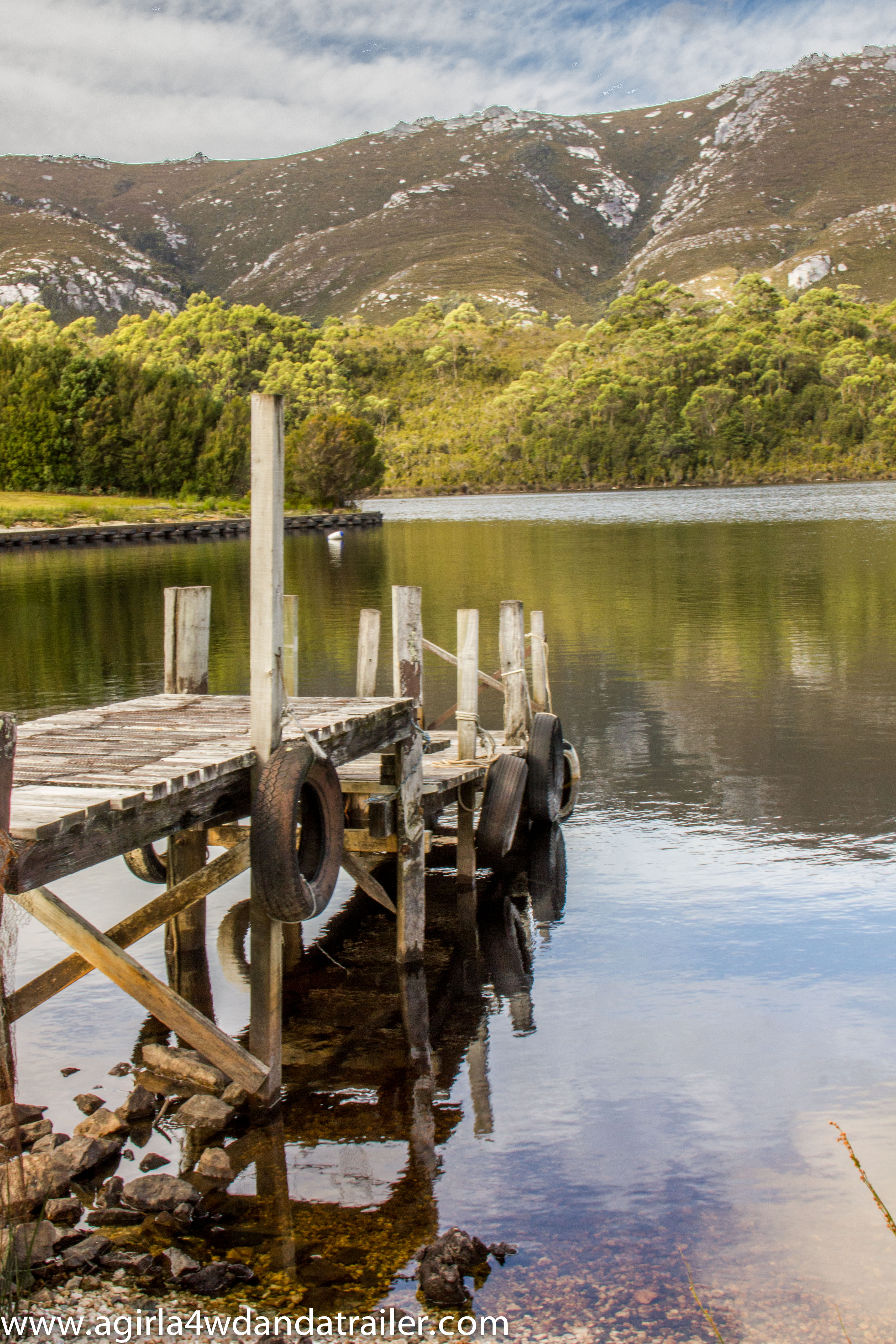
View from the Chalet, Strathgordon
We had planned on camping along the way to Strathgordon; however, once we arrived at Lake Pedder Chalet, the only accommodation in Strathgordon, and had lunch in the food hall, we became a lot less inclined to leave. On finding out that the motel style rooms were cheap, but basic, we decided to stay overnight in a room rather than a campground for the first time since we left Adelaide.
Strathgordon isn’t much, a few houses and a kick ass indoor heated pool. It was constructed in the 1960’s to house the workers building the Gordon Dam. Now, only a few families remain in the town, usually of workers maintaining the plant or working in the Chalet.
We spent the afternoon lounging and having a few beers, the life, before retiring to bed for a movie and an early night. We are very glad that we stayed in the Chalet as when we awoke in the morning there was a very heavy rain; also it was nice to be able to go to the toilet without getting cold.

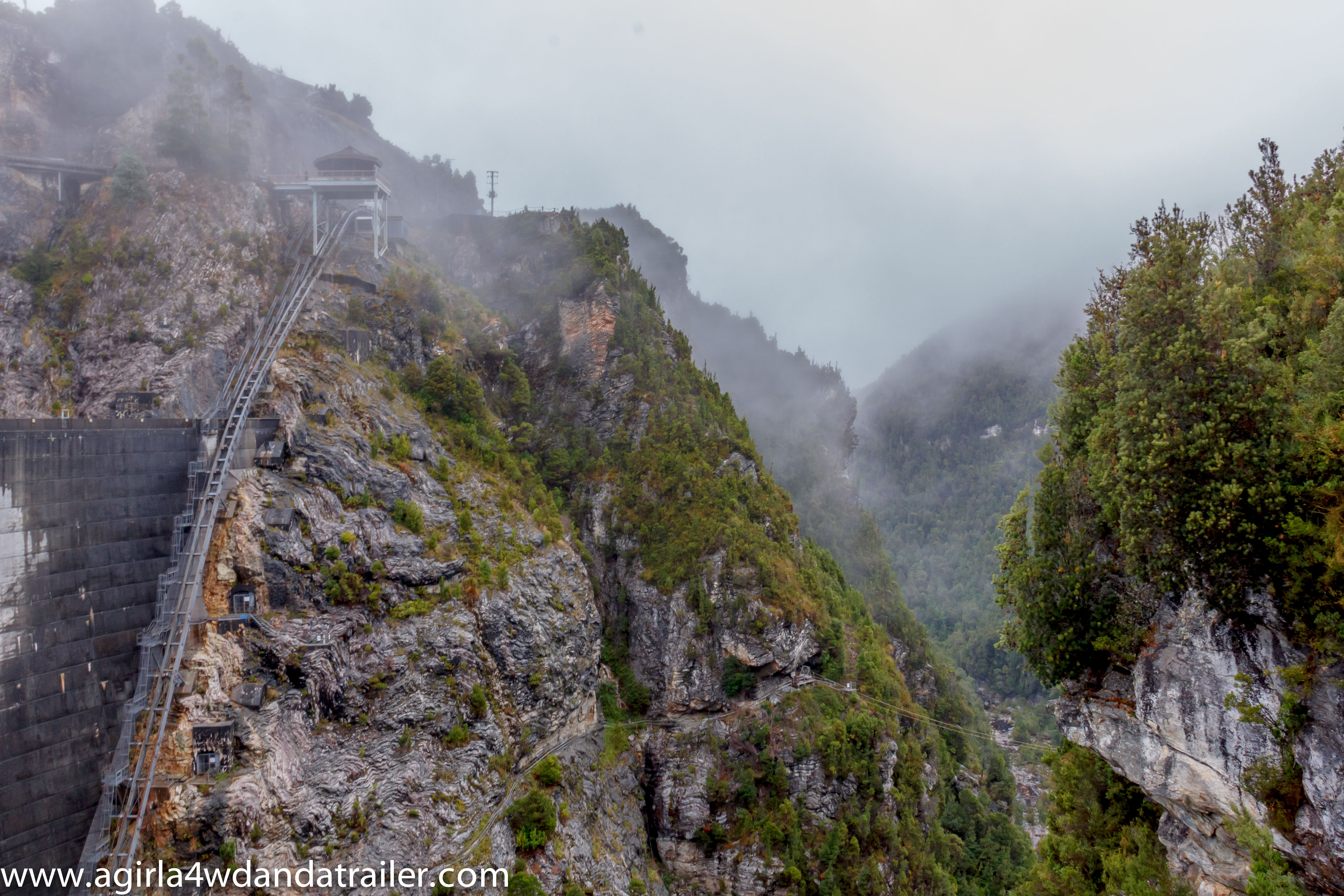
Shot from the Dam to the viewing area.
Once we checked out of the Chalet we drove another 10 minutes west to the Gordon Dam. The dam was built in the 1960’s and 1970’s it is the largest dam in Tasmania and 5th largest in Australia.

Gordon Dam, Strathgordon
It was cold and wet when we arrived. However, the scenery in the area was stunning, all mountains, mist and it felt oddly peaceful, I guess that’s from being so remote. In short it was breathtaking! I’m glad we decided to go out of our way to visit Strathgordon and the Gordon Dam.